http://egsc.usgs.gov/isb/pubs/factsheets/fs08801.html
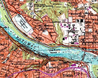
A digital raster graphic is the result of scanning a paper map to use it on a computer. Like a digital line graph, these are also typically used in GIS applications. The above is a scanned in DRG that shows the area of Washington DC from above and can be used for geographic information systems.

No comments:
Post a Comment